The prettiest roads are rarely the fastest. Planning for slow speeds, seasonal openings and long gaps between gas stations is what makes them enjoyable.
Road notes
- The Federal Highway Administration designates National Scenic Byways and All-American Roads for their scenery, history and recreation.
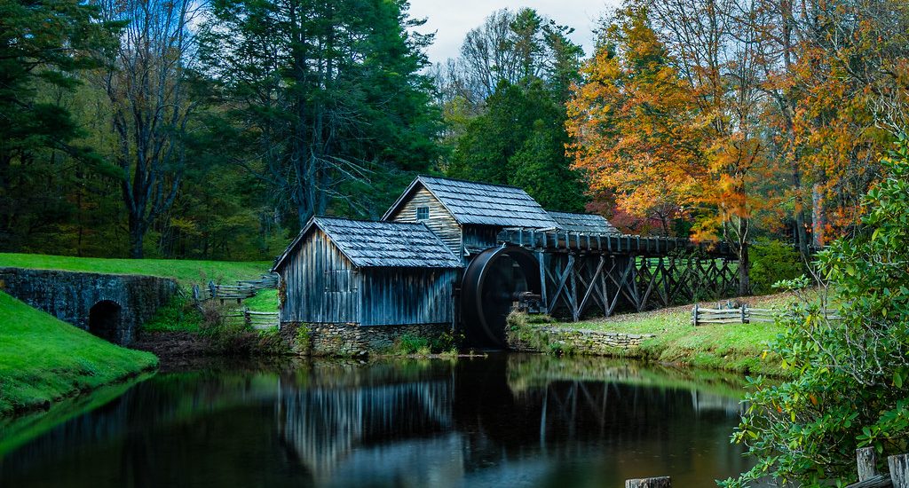
- Parkways run by the National Park Service have low speed limits: 45 mph on most of the Blue Ridge Parkway and 50 mph on the Natchez Trace Parkway.
- High mountain roads such as the Beartooth Highway usually open only from late spring to early fall, and coastal roads can close for landslides.
- Plan for half the distance you’d cover on an interstate, and fill up before long stretches without services.
Some roads are just ways to get somewhere. Others are the destination. America’s best scenic drives, from mountain parkways to desert highways and coast roads, reward a slower plan with more stops than miles.
What the designations mean
The Federal Highway Administration’s National Scenic Byways Program recognizes roads for qualities such as scenery, history, culture, nature and recreation. The two federal designations are National Scenic Byway and All-American Road, the latter for roads considered destinations in their own right. Many states also run their own scenic byway programs.
Parkways: slow by design
Two of the best-known parkways are run by the National Park Service:
| Parkway | Length | Typical speed limit | Good to know |
|---|---|---|---|
| Blue Ridge Parkway (Virginia, North Carolina) | 469 miles | 45 mph, lower in places | Commercial traffic isn’t allowed; sections close in winter weather |
| Natchez Trace Parkway (Mississippi, Alabama, Tennessee) | 444 miles | 50 mph | Commercial vehicles are prohibited; end to end takes about 10 hours of driving |
At those speeds, plus overlooks, short hikes and towns along the way, the Blue Ridge Parkway is a multi-day trip, not a one-day drive.
Seasonal and weather closures
- High mountain roads, such as the Beartooth Highway between Montana and Wyoming, typically open from late May to mid-October, weather permitting.
- Park roads may have seasonal closures, construction or vehicle reservation systems.
- Coastal highways, including Highway 1 through Big Sur in California, can close for months after landslides; check Caltrans before planning a route around them.
Road-tested tip
For any scenic road, look up the official managing agency, such as the National Park Service, the Forest Service or the state DOT, and bookmark its current conditions page. Third-party trip articles go out of date quickly.
Plan the day differently
- Halve your usual daily distance to leave time for stops.
- Fill up before you start; some parkways and mountain roads have long stretches without fuel.
- Download offline maps, since cell coverage can disappear in mountains and remote areas.
- Book lodging ahead in small towns along popular routes during peak season.
- Leave buffer days for weather or simply for staying somewhere you love.
Long scenic days still need breaks; see our guide to driving days without the drowsiness. Mountain routes in the shoulder seasons can bring snow, so read our winter mountain driving guide too.
Questions from the road
Q: Can I drive an RV on scenic parkways?
A: Often, but check tunnel heights, sharp curves and any vehicle restrictions first. The Natchez Trace Parkway prohibits commercial vehicles, and several roads have limits on vehicle length.
Q: Do I need a reservation for scenic roads in national parks?
A: Some popular park roads have used timed-entry or vehicle reservation systems in busy seasons. Rules change from year to year, so check the park’s website before you go.
Q: What’s the best time of day to drive them?
A: Early morning usually brings softer light, fewer cars and more wildlife. Avoid driving narrow mountain roads after dark if you don’t know them.
Road rules, fees, closures and border requirements change. Check with the state transportation department, park, rental company or border agency before you travel. This guide is general information.